What's Ahead
Built at Meta Global AI Developer Hackathon · Oct 26, 2026 · Remote
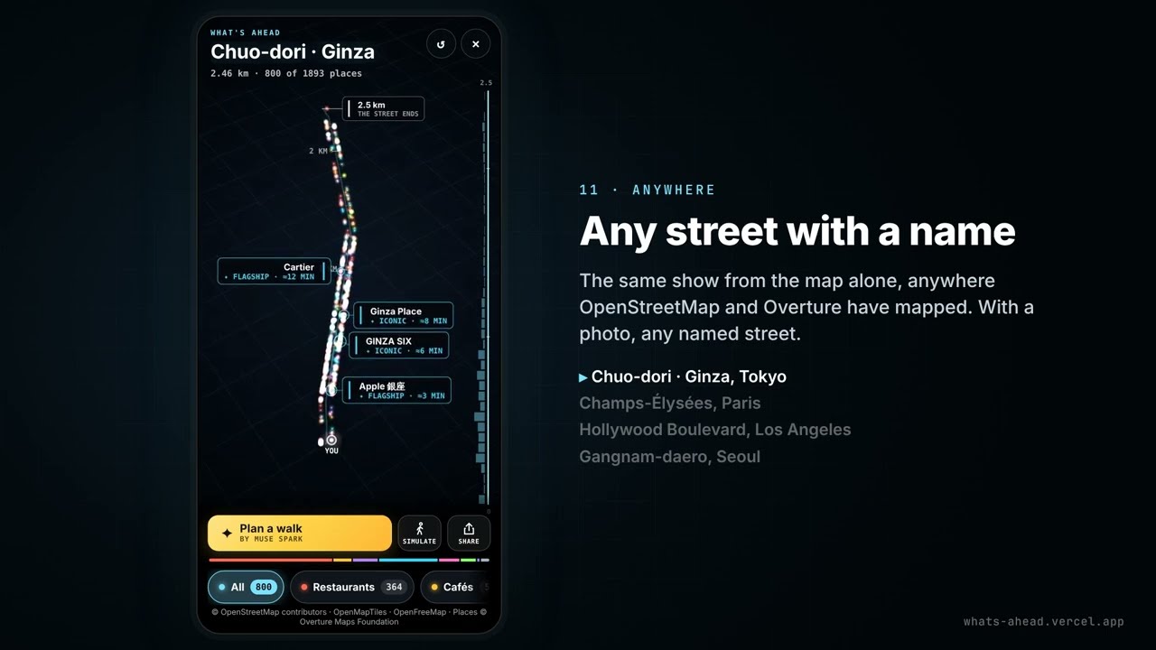
What's Ahead turns one photo of a street into the next 5 km of it, on your phone. The problem: on a street you don't know, a map app is built for search. It shows a selection of places and waits for you to look up the rest, and choosing where to go means reading stars and reviews one place at a time. What's Ahead shows the whole street instead. Point your phone down it and take one photo. GPS and the compass find the street, and the OpenStreetMap road is followed 5 km through every junction. A light then runs down it as a moving infographic on black. Every place OpenStreetMap and Overture have mapped along it lights up at its distance and on its side: up to 800 places, and 551 in the first kilometre of Fifth Avenue. Zoom into a stretch and every small business there is named. Meta's open-weight Muse Spark Open names the places a visitor would know, each marked with its reason. It also plans a short walk for the moment (Plan a walk), and reads the signs that SAM 3.1 outlines in your photo. Each place's card links its Instagram, Facebook page or website when the map has them. Your dot then follows you along the street. The models choose and the map tells: every name, distance and side on screen comes from the map. With no street nearby, nine famous streets (Fifth Avenue, Ginza, the Champs-Élysées and more) open from the map alone, with a simulated walk. Try it: https://whats-ahead.vercel.app