Terra Shift (Eljan)
Built at Meta Global AI Developer Hackathon · Oct 26, 2026 · Remote
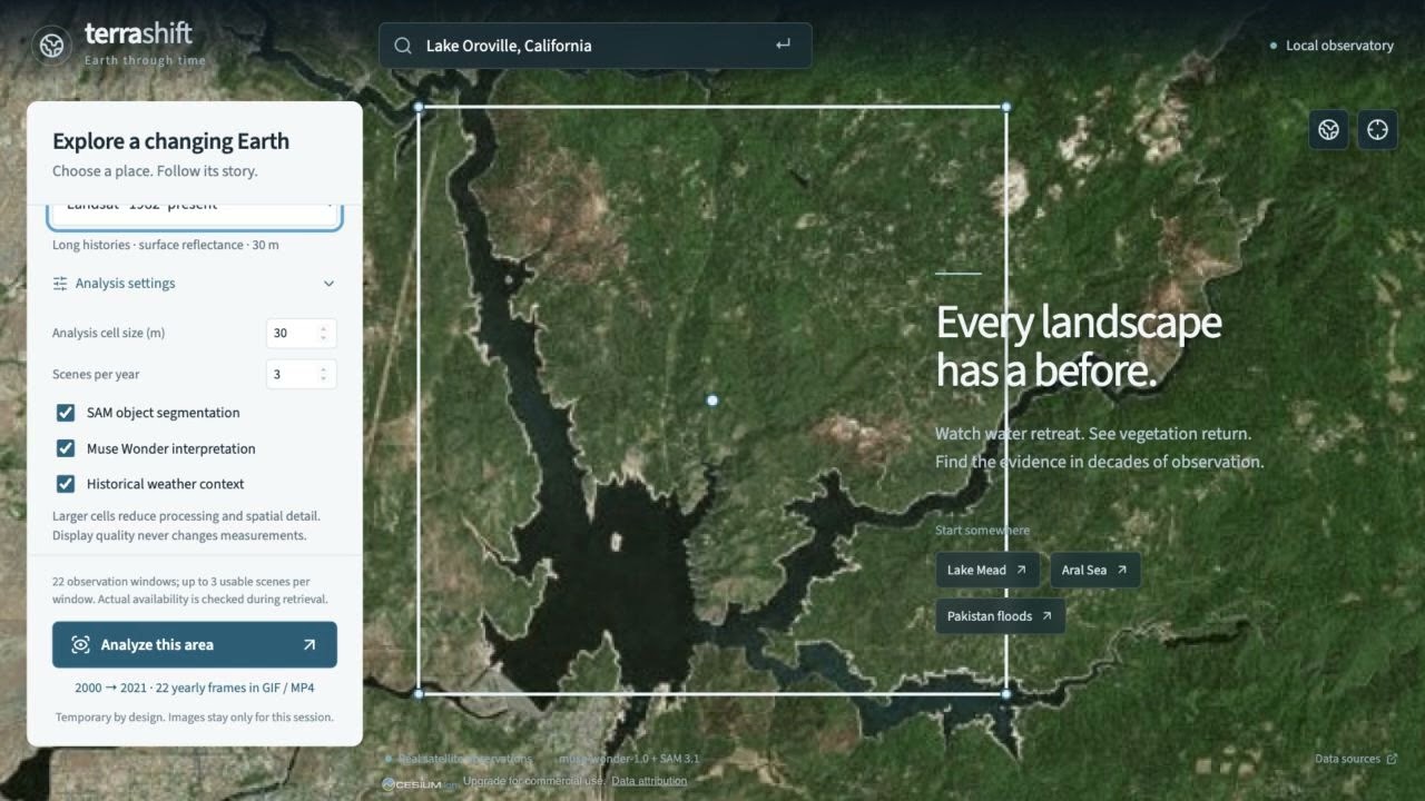
Environmental change can reshape a community long before the evidence becomes easy to understand. Terra Shift turns decades of satellite observations into a visual, measurable history of any selected place—helping conservation teams, journalists and local decision-makers investigate what changed, where and how quickly. Users explore an interactive 3D Earth, search a location, and define an exact square or editable boundary. They choose dates or an inclusive year range and investigate water, greening, forests, ground and coasts together. Source options include Landsat, Sentinel-2, Sentinel-1 radar, HLS and MODIS, with availability and method limits made explicit. The application retrieves bounded image windows, checks usable coverage and produces before/after maps, theme-specific metrics, change rates and explanations. Meta SAM 3.1 segments dated optical images into inspectable regions with their own area histories and gain/loss layers. Muse Wonder interprets measured evidence alongside historical weather. Users can play every requested year and export a GIF, MP4 or evidence package; unavailable years remain visible as gaps. Our 2:59 demo investigates a 14 km square at Lake Oroville, California, across all 22 years from 2000 through 2021, with all five themes selected. Spectral measurements show mapped water area decreasing by 34.7% between the comparison periods within that boundary. SAM returned water masks for all 22 annual images. These are observations from this case, not a general accuracy benchmark. Terra Shift connects each conclusion to its dates, coverage, measurements and source evidence. Temporary analysis imagery is deleted when a run is replaced or expires, avoiding a growing satellite archive. Terra Shift builds evidence today. Our next release, Terra Shift Watch, will combine satellite observations with weather forecasts to flag emerging hazards and support earlier action. Our ambition is to help protect thousands of lives and avoid millions—even billions—of dollars in disaster losses.