Aedoro
Built at Meta Global AI Developer Hackathon · Oct 26, 2026 · Remote
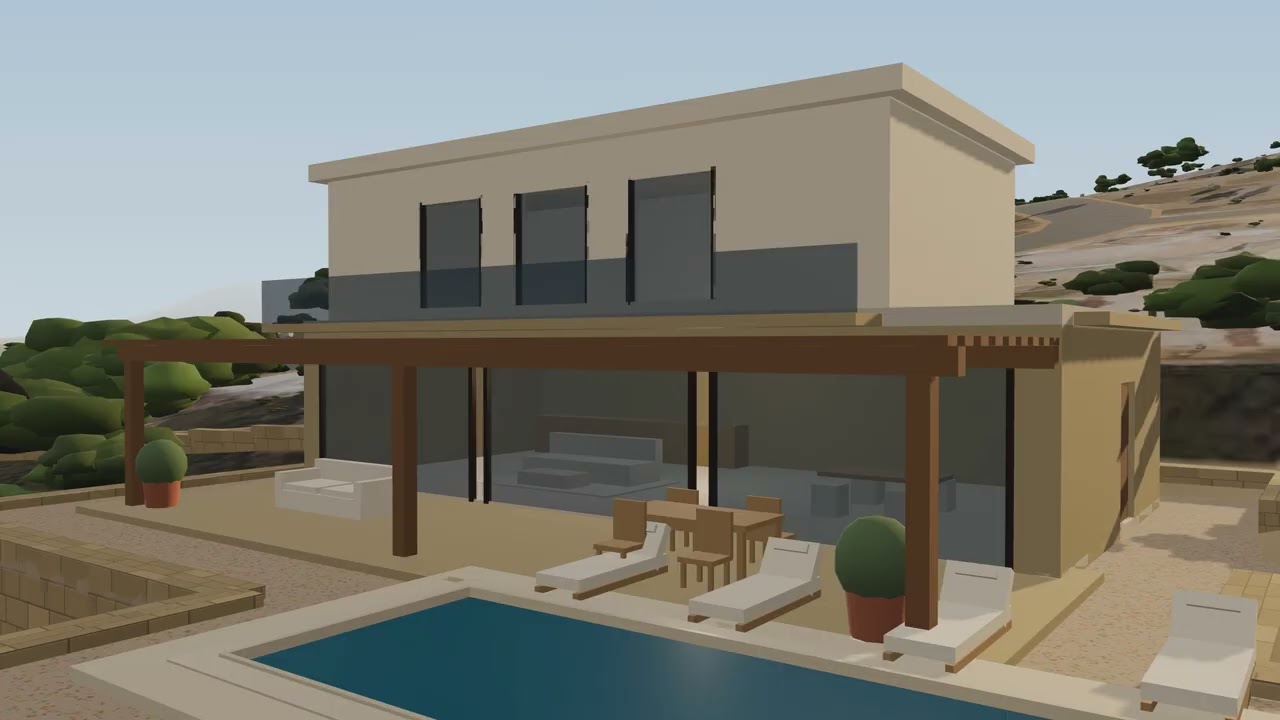
AEDORO Studio turns a plot of land into a home design you can talk to. Architects and engineers who tested it report that a first concept with photographic renders drops from hours to a few minutes. It is built for plot owners taking their first step, for the architects and engineers who advise them, and for real estate agents who need a fast, affordable way to show what a plot could become. Before anyone can picture a home on their land, they need to know what the plot allows, how the terrain behaves, and how a house would sit there. That information is scattered across maps, elevation data and building rules, and levels are often hard to grasp from drawings alone. AEDORO brings it together in one conversation, on the real plot, so people see the terrain, the position and the view at once. You describe the home in plain words and upload the plot's KML or KMZ boundary. The app gathers the site by itself: roads and buildings from OpenStreetMap, municipal drone imagery, and Copernicus elevation data anchored to sea level with OpenStreetMap coastlines. It orients the house toward the best view, builds a live 3D model of the terrain and surrounding area, and answers "how much can I build?" from a scenario of Greek building terms, showing where every value comes from. You then shape the design by chat in English, Greek or Greeklish. Because people see the result and can test a change with a single message, they can explore more ideas, faster and more easily: moving the house, or changing the floors, pool, materials or light. Every change is validated, so the plan, the 3D model and the numbers stay in sync. Meta's models read the drone imagery, turn captures of the 3D model into photographic renders, and compare each render with the model. Designs export as GLB with a transfer manifest for professional tools. Where it goes next: surveyed contours from a topographic plan, or paid high-resolution elevation data, can add a full level survey, so an architect sees from the start where fill and excavation are needed. An agent that reads building legislation can then draft floor plans and elevations automatically. The long-term vision is a complete draft building file in minutes, from just a location and a survey, for licensed professionals to review and sign. OpenStreetMap and Copernicus already cover most of the world, so licensed aerial imagery and a building-terms module per country can take AEDORO beyond Crete.