MicroGeo Mapper
Built at Meta Global AI Developer Hackathon · Oct 26, 2026 · Remote
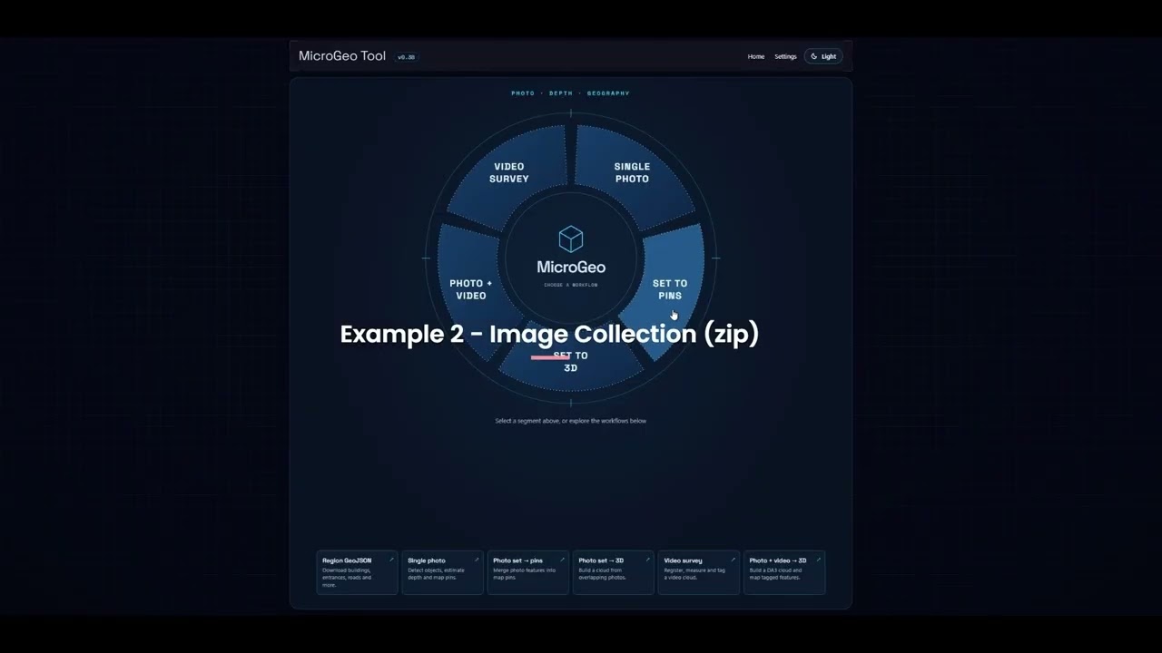
The tool is designed to capture and map small-scale features that are often missing from conventional maps. Examples include door and entrance locations, missing post boxes, bicycle sheds, and indoor features such as office locations, recycling bins and fire extinguishers. This information has potential applications in emergency service response, robot delivery (e.g. identifying building entrances) and autonomous vehicles (e.g. identifying suitable pick-up and drop-off locations). It is particularly useful for indoor mapping, where GNSS (e.g. GPS) signals are often unreliable or unavailable. To create an indoor map, simply enter a building through one entrance while recording video on your phone in landscape orientation. Explore the building, ideally exiting through another entrance on the opposite side. Upload the video, and the tool will reconstruct the environment, allowing you to georeference the entrances and create an indoor map. Users can upload a single image, a collection of images or a video. Where GNSS coordinates are available in the image EXIF metadata, these are used to establish the location. Otherwise, the tool attempts to identify the location by submitting selected image samples to the Meta Spark 1.3 API. Where potential location matches are identified, these are displayed on a map for the user to confirm. Users can also select alternative image samples for analysis or manually specify the location by clicking on the map. For georeferenced image collections or videos, a 3D model is constructed that users can explore to identify and tag individual features. These features are then positioned in real-world coordinates. SAM 3.1 can also be used to automatically detect and tag features. Tagged features can subsequently be submitted to the Meta Spark 1.3 API for image analysis and feature-specific questions (e.g. Is this entrance accessible? What colour is the door? What type of bin is shown?). Results are returned in a user-defined JSON structure, with a separate template for each feature class. This ensures that extracted information is consistently structured and can be integrated into downstream mapping workflows. The resulting 3D models and mapped features (points or lines) can be exported for use in other GIS software and spatial databases.