OhnoTrash
Built at Meta Global AI Developer Hackathon · Oct 26, 2026 · Remote
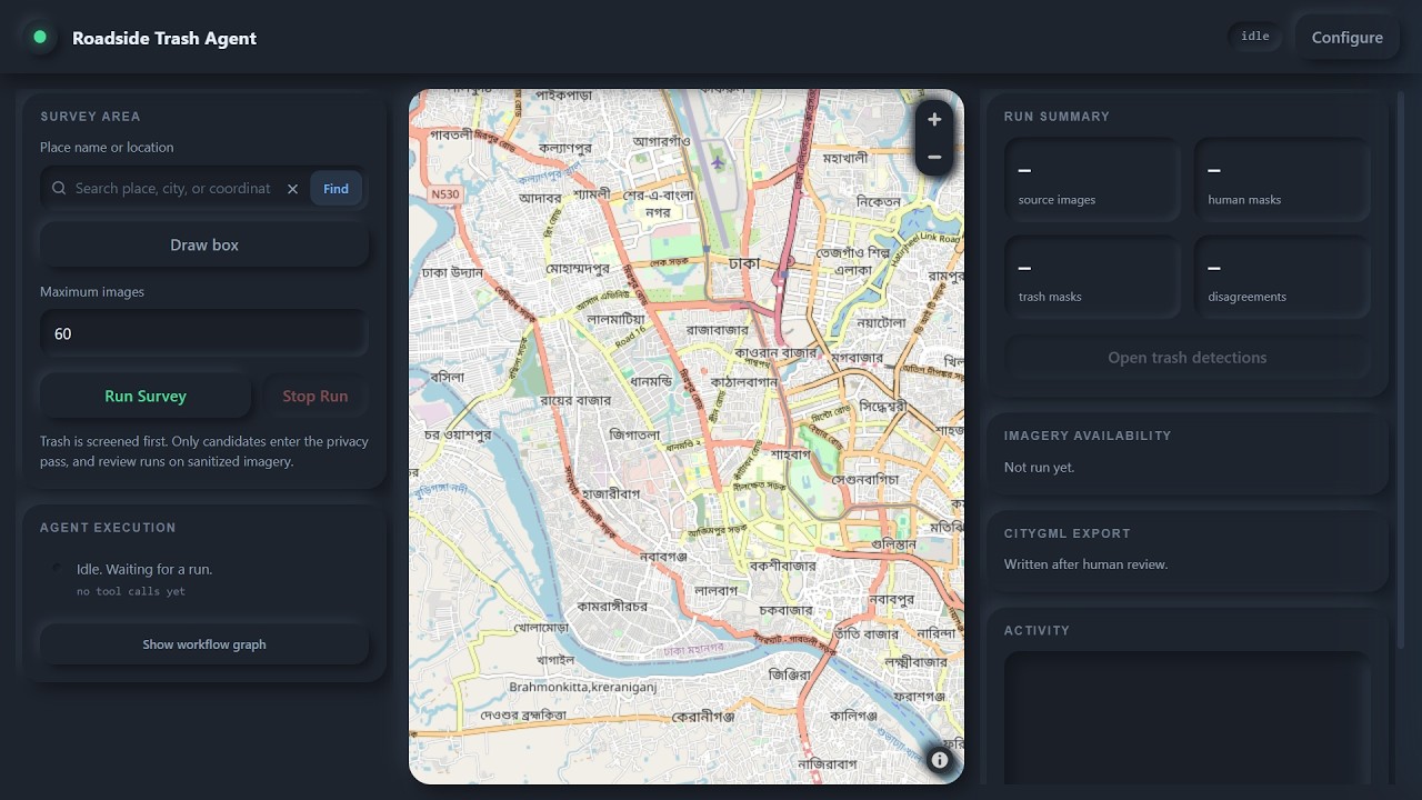
An autonomous GeoAI agent that finds and maps illegal roadside waste dumps from street-level imagery, for any city with coverage. It resolves a place name or drawn area, pulls Mapillary imagery, screens each scene with a vision-language model, and segments detected waste with SAM 3 to get pixel-precise masks. Where the models disagree, it pauses for a human reviewer. Verified detections become interactive map layers, and a PostGIS time series tracks waste per grid cell over time. The pipeline is zero-shot, with no training data or city-specific tuning. Dhaka (Kaliganj, Gazipur) is only the demo city, so it transfers to any place with volunteered street-view imagery. The approach is peer-reviewed (ISPRS Annals XII-4/W2-2026, doi 10.5194/isprs-annals-XII-4-W2-2026-9-2026). Municipalities in places without budgets for dedicated waste surveys can use it to see where waste accumulates.