Hi-geo
Built at Meta Global AI Developer Hackathon · Oct 26, 2026 · Remote
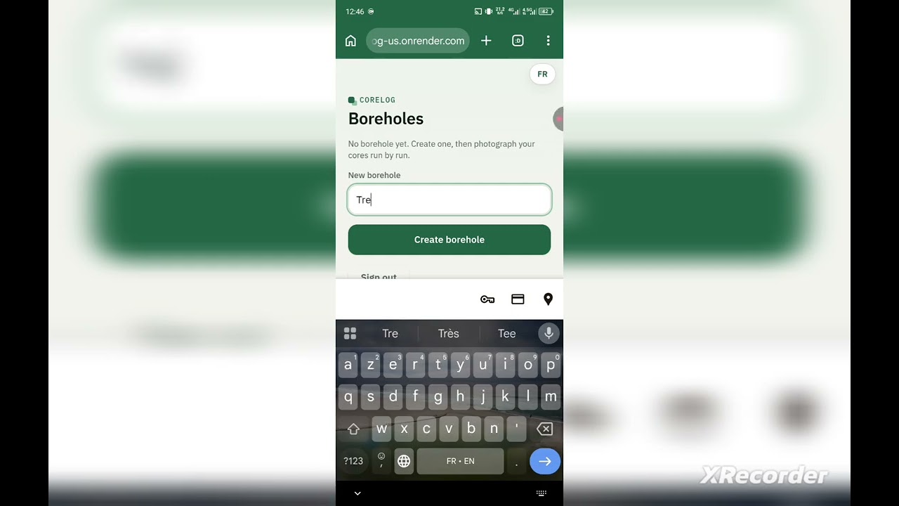
CoreLog is an AI agent that turns a single photo of a drill-core tray into a structured lithology log that a geologist can check, correct and export, instead of a guess they have to trust. THE PROBLEM Oil, gas and mineral exploration all start with geological exploration, and every borehole produces core that must be described. Core logging is still largely manual and subjective: two geologists can describe the same core differently, and a long hole takes days. Exploration happens in remote places, with difficult access, little electricity and weak connectivity, so the geologist often has only a phone. Photos exist; trustworthy structured logs from them are the bottleneck. WHAT COREGLOG DOES The geologist photographs a core tray (label, tape measure and colour scales in frame) and optionally dictates a note. The agent: 1. Checks photo quality with OpenCV (blur, light, framing) before any paid model call. 2. Reads the handwritten label, the depths, the tape and the lithology as strict JSON, and gives its arguments for each rock: colour, grain size, structure, fissility, fracturing, and the simple field test that would confirm it (for example dilute HCl for a marl). Arguments are shown in French or English. 3. Gets an independent second reading from a different model, and a third reading to break ties, with majority voting. 4. Re-reads the label sharper after locating it. 5. Cross-checks everything with plain code: depth arithmetic (start, end, drilled, recovered), order, gaps and overlaps between runs, hole-ID consistency across photos, and the dictated note against the photo reading. 6. Abstains when the evidence is weak. "Unknown" is a valid answer, and "auto" never means "validated": it means light review. 7. Sends every doubt to the geologist, who validates, corrects or comments before exporting CSV or JSON. The model proposes, the code checks, the geologist decides. HOW META MODELS ARE USED - Muse Spark Open (via Baseten): main reader and tiebreaker. - Muse Spark 1.3 (Meta API): independent second reader. - SAM 3.1: finds the paper label so it can be cropped and re-read sharper (label and tape found on 10 of 10 test photos). - Muse Voice Transcribe 1.0: real-time dictation of a note, compared with the photo reading. - Muse Wonder 1.0: implemented as a complete alternative second-reader mode, measured on the same photos and kept as a fallback if the main path is unavailable. - Glimmer: designed in as the independent second reader and wired in the code, but never run, because the payment cards were refused when activating its hosting. We make no claim about its behaviour. WHAT WE MEASURED On 10 real core photos from one borehole (PH-016B, sedimentary): depth readings were identical across three model configurations; lithology matched the author's geologist-reviewed reference reading on 9 of 10 photos; the mixed configuration costs about $0.04 per photo, versus about $0.125 when Muse Wonder is the second reader, with no gain on depths. A photo takes about 20 to 40 seconds. Crystalline rock classes are implemented but not evaluated on real photos: the project uses no private data. A top-soil versus sandstone photo is read differently by the models and is correctly sent to human review. WHY IT MATTERS CoreLog is made for geologists in the field, starting from Africa, where one phone and a basic connection must be enough. It is a bilingual French/English web app (PWA) with admin and demo access roles, per-photo rock domains (sedimentary, crystalline, or auto) defined as data, and CSV/JSON export. The code is open source (MIT). WHAT'S NEXT With support after the hackathon, we would move to paid hosting without cold starts, run the independent second reader for real, evaluate on more boreholes and on crystalline rocks, and make capture work better offline.