FirstLight
Built at Meta Global AI Developer Hackathon · Oct 26, 2026 · Remote
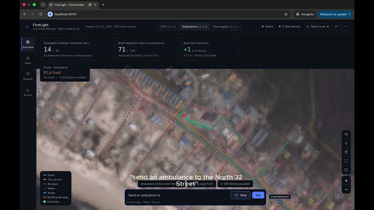
FirstLight is an offline-first disaster access map. After a hurricane, damage maps show which buildings are destroyed, but responders also need to know which vehicle can physically reach them. FirstLight measures the clear road width every 5 metres from post-storm aerial imagery, then routes each vehicle class (fire engine > 3.5 m, ambulance > 2.2 m, ATV > 1.2 m) to the buildings where people may need help. On real Hurricane Michael data from Mexico Beach, FL, a fire engine can reach 7 of 84 severely damaged buildings, an ambulance 11, and an ATV 16. It ranks which debris to clear first, flags uncertain roads for a drone check, lets a commander plan and dispatch in plain language, and pushes routes to responders' phones over local Wi-Fi. When the internet goes down, the map, measurements, routing and an on-device AI model keep running on the command laptop.