Petri Tuononen
Built at Meta Global AI Developer Hackathon · Oct 26, 2026 · Remote
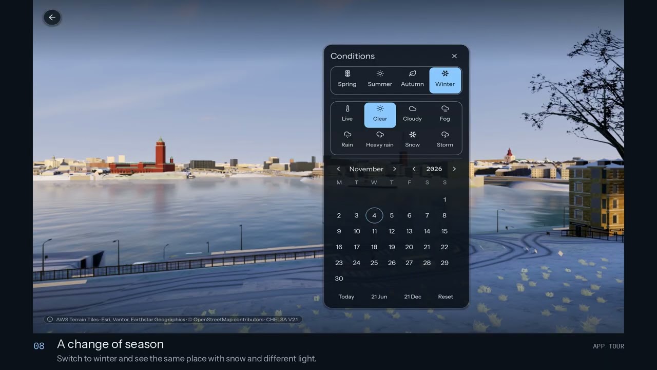
Planet Render 360 turns a point on the map into a world you can explore. Choose a location by search, coordinates, or a map tap, and the app builds an immersive 360° 3D scene directly on your device. It combines real elevation, satellite imagery, mapped buildings, roads, and climate data to create geographically grounded landscapes. Meta and World Resources Institute’s DINOv3-derived canopy-height maps guide tree placement and height, bringing AI-powered Earth observation into an interactive experience. Recognizable landmarks, regional architecture, and climate-aware vegetation give each place its own character. You can look around, walk through the scene, or fly a virtual drone above it. Change the season, follow the sun across the sky, and see how live weather shapes the atmosphere. Save photos, share an exact viewpoint, and download places to revisit offline. Built with Godot and designed for mobile, the project brings freely available geographic data together without requiring a dedicated rendering server. Planet Render 360 makes the world more accessible for travel discovery, learning, and the simple joy of exploring somewhere new.