SafeRoute
Built at Meta Global AI Developer Hackathon · Oct 26, 2026 · Remote
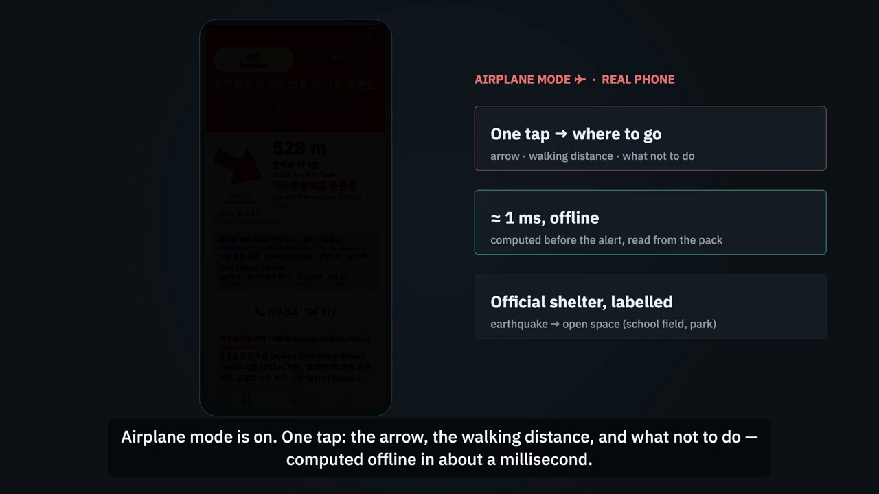
I commute into central Seoul every morning. If an earthquake or flood alert went off on the way, the mobile network might be jammed and I wouldn't know where to go. The right place also depends on the disaster. For an earthquake you want open space away from buildings. For a flood you want higher ground and nothing underground. Korean authorities tell people to learn the shelters near their home, work and school ahead of time, but very few people actually do. SafeRoute does that part for you. On ordinary days it asks nothing of you. It learns, on the phone, the places you actually spend time, and prepares for each of them in the background. A Muse Spark agent writes a plan for each disaster (backup shelter, family meeting point, step-free needs), and the app looks for extra safe spots that fit the official guidance: open ground for earthquakes, and high ground away from streams and past flood areas for floods. It only downloads map tiles around your own places, not the whole city. When an alert comes, it answers in about a millisecond without a network connection. You get an arrow, the walking distance, what not to do, and the plan prepared earlier. Routes to the official shelters are computed ahead of time for all of Seoul, one shortest-path tree per disaster, in a 10 MB file. The phone just follows pointers, so no search, server or model is involved at that moment. At night it warns that school yards may be locked and shows the nearest place that isn't a school. Questions people ask in a hurry, like "can I move my car out of the underground garage?", have answers written in advance with Muse Glimmer (open weights) and checked for safety. Everything is in Korean and English, including shelter names. Some numbers for Seoul (9.3 M people). For 35% of residents, the first direction to walk is different for an earthquake and a flood. For 32%, the nearest shelter in a straight line is not the nearest on foot. 45% would be sent to a school yard that may be locked at night, and reaching the nearest alternative adds a median of 606 m. While building this I also found that the official earthquake-shelter dataset covers only 18 of Seoul's 25 districts, so the app labels any place that isn't officially designated. The same pipeline produced a five-hazard pack for Kochi, Japan, with only a new data adapter and new rule rows. I tested the app on a Galaxy S23 Ultra in airplane mode, and the API key is not shipped in the APK.