RISHI AND HIS THOUGHTS
Built at Meta Global AI Developer Hackathon · Oct 26, 2026 · Remote
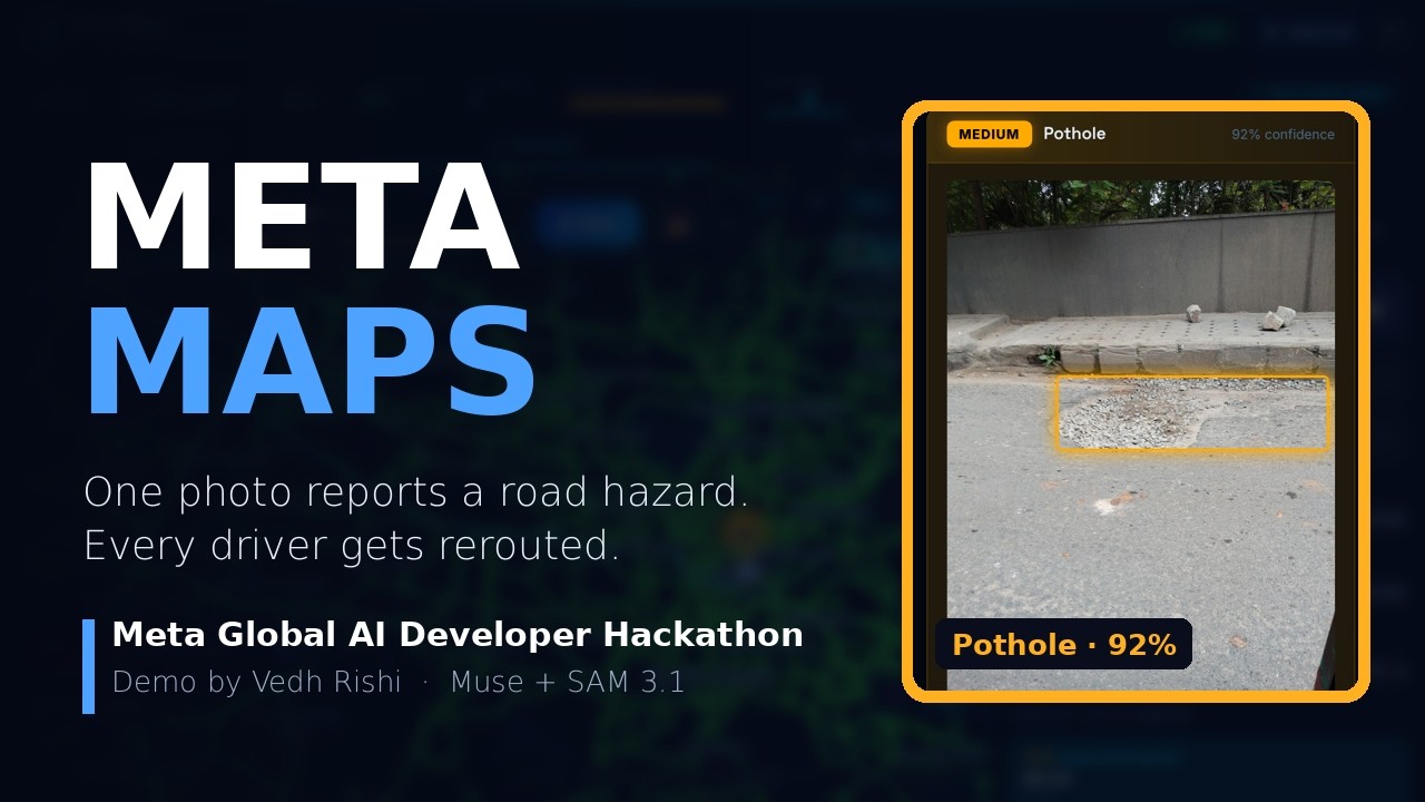
Indian roads change faster than any map. The pothole that opened after last night's rain, a flooded underpass or a dead traffic signal is not in any navigation app, but the driver who just passed it knows. Meta Maps turns that knowledge into a shared, AI-verified layer. A driver takes one photo, or says "report pothole". Meta's Muse Spark decides whether it is a road hazard, its type and severity, and what other drivers should do; Meta SAM 3.1 marks where the hazard is in the photo. The pin reaches every nearby driver within seconds, and a second report within 60 m counts as a confirmation instead of a duplicate. Routes are ranked by time, reported hazards, fuel cost and live traffic. During a trip, the Guardian agent watches the road ahead, asks the router for alternatives when a serious hazard appears, switches only when the detour is clearly better, and explains why out loud. Everything is voice controlled ("Hey Meta, nearest petrol pump", "reroute"), and about 4.9 million Indian place and building names are searchable from tiles cached on the device, so it works on weak connections. Built during the hackathon with React, MapLibre, FastAPI and Meta Model API. Meta Maps is an independent project, not made by or endorsed by Meta.