Saliga
Built at Meta Global AI Developer Hackathon · Oct 26, 2026 · Remote
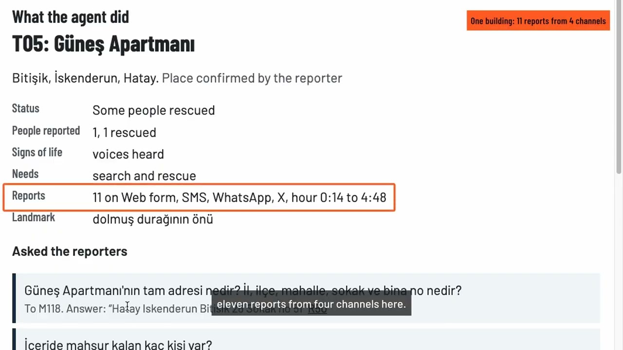
Anyone Hear Me is an agent for the people who coordinate earthquake rescue. After the 6 February 2023 earthquakes in Türkiye, families posted help requests on every channel at once: the same building was reported dozens of times, addresses were misheard, and when a platform went dark its requests were lost. Volunteers sorted it all by hand. The agent turns voice notes, live calls, photos and posts (Turkish and Arabic) into verified, deduplicated rescue tasks: 1. Hear: voice notes and live calls are transcribed as they are spoken; during a call the agent tells the call-taker what is still missing. 2. Understand: each report becomes a structured record (place, people trapped, signs of life, needs, urgency), and every field quotes the exact words it came from. Quotes are checked word for word. 3. Check the address against the official neighbourhood list of the 11 affected provinces: misheard names are corrected, names that exist in several places are flagged, not guessed. 4. Merge reports about the same building across channels. Rules catch clear cases; the model judges same / different / unsure, and unsure is never merged. 5. Ask back: when counts or places disagree, it drafts a short question to the right reporter, reads the answer and settles the conflict with its source. 6. Suggest teams: ranks buildings by signs of life, people trapped and hours waited, holds back unsettled places, and pairs free teams with buildings. A coordinator approves every question and every team; tasks export as CAP 1.2 alerts. No automatic dispatch, no medical advice. On a labelled, fictional test set (31 incidents, 129 messages), the follow-up loop raised the right people count from 10 to 23 of 25 rescue incidents, cut open tasks with an unsettled issue from 19 to 3, kept merge precision at 1.0, and 1,514 of 1,515 evidence quotes were found word for word. Everything was built during the hackathon; pre-existing were only open data (official neighbourhood list, OpenStreetMap) and open-source libraries. All reports and photos are fictional; places are real neighbourhoods.