Neermattam
Built at Meta Global AI Developer Hackathon · Oct 26, 2026 · Remote
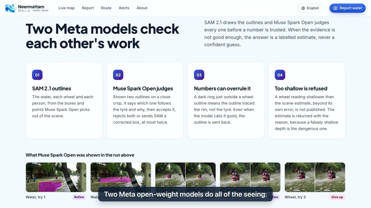
Every monsoon in Chennai I see the same thing. Someone on a scooter stops at the edge of a flooded street and has to guess how deep it is. Ankle deep, they get across. Knee deep, the engine dies and they are stuck in moving water. Ambulance drivers, delivery riders and parents walking children home make the same guess every day of the monsoon. So does a data centre deciding whether a diesel tanker can still reach its generators. The cost is real. The 2015 Chennai floods killed 289 people and caused at least USD 2 billion in losses. India's own urban flood guidelines call the lack of real-time data over cities "a very critical gap". Mumbai and Chennai hold about 73% of India's data centre capacity, and both flood. Worldwide, 1.81 billion people live with serious flood risk, 390 million of them in India. Forecasts tell you where a city will flood. Nothing tells you how deep it is on your street, right now. Neermattam (Tamil for "water level") measures it from one ordinary phone photo. Two Meta open models check each other's work. SAM 2.1 outlines the water, the wheels and the people. Muse Spark Open looks at every outline up close and accepts it, rejects it, or asks SAM to try again with a better box, explaining its reason each time. A wheel of known size or an adult standing in the water becomes the ruler, so the answer is a depth in centimetres with an honest error. When nothing can be measured, it says so and gives a clearly labelled estimate instead of a confident wrong number. Calling a flooded road safe is the one mistake it is built never to make. One measurement then works for the whole city: - A live street map for seven Indian cities, with live rainfall - Routes for walkers, two-wheelers, autos, cars and buses that avoid water each one cannot cross - Street alerts for families, and a control room for city officials - For data centres, hospitals and telephone exchanges: water watched within 300 m and 1 km, routes a fuel tanker and staff can still use, and alerts when either changes - Signed results that insurers or journalists can verify, a developer API for fleets, and an MCP server so any AI assistant can ask for depth and safe routes - Every page in English and seven Indian languages Because both models are open weights and nothing is trained per city, a state disaster authority can run the whole system on its own servers. Photos stay in the country, there is no fee per photo on a flood night, and the same system can start in any flood-prone city, from Chennai to Dhaka, Jakarta or Manila. I built it solo during the hackathon: a Rust engine for fusion and routing, a Go server for every page and the API, and Python for Meta's models. A street nobody has reported on is always shown as unknown, never safe. Live: https://applemacbook6sep2004--neermattam-web-web-serve.us-east.modal.run Video: https://youtu.be/cDX91WGaFUQ Code: https://github.com/vignesh2027/neermattam