GeoSAR
Built at Meta Global AI Developer Hackathon · Oct 26, 2026 · Remote
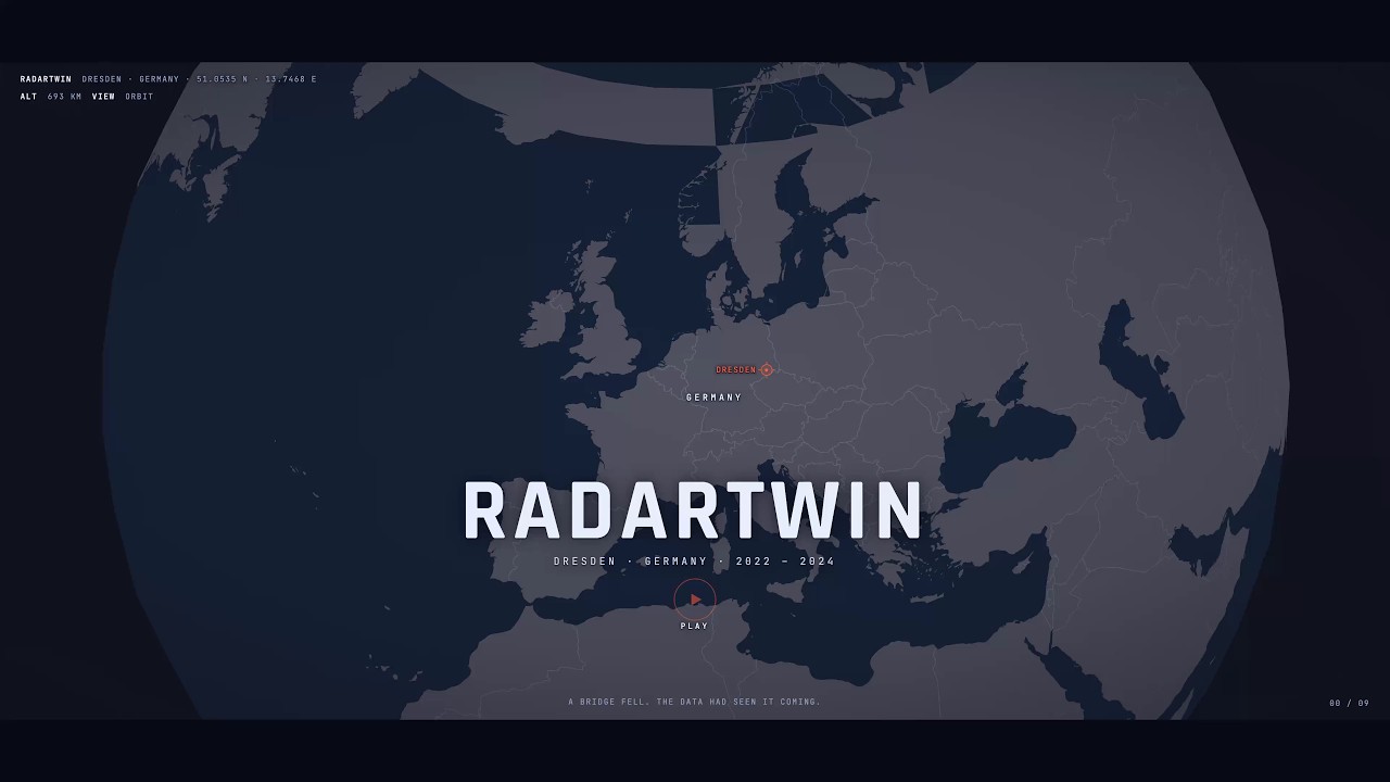
Europe already measures how every bridge moves: the European Ground Motion Service publishes millimetre-scale Sentinel-1 radar time series for the whole continent, free, with hundreds of points on a typical city bridge. Almost no bridge owner reads them. On 11 September 2024 the Carolabrücke in Dresden partially collapsed into the Elbe; the data covering it had been public the whole time. RadarTwin turns that feed into a monthly inspection ranking for every bridge in a city. It binds the radar points to bridge footprints, splits each deck into spans, combines ascending and descending passes into vertical motion per span, and scores each bridge on speed, span-to-span spread, and distance from its own history and the city-wide level. The demo is a hindcast on the real collapse: 20 Dresden bridges, 3,694 radar points, 98 spans, 33 monthly cutoffs from January 2022 to September 2024, each scored only with the data that existed at the time. The Carolabrücke goes red in October 2023, red again in August 2024, and by September 2024 is the only red bridge in the city, ranked first ten days before it fell. Meta's models do the judgement. Muse Spark 1.3 (Meta Model API) reads each bridge's radar features every month and returns a typed decision pattern, risk level, inspect or not with probabilities from five votes per question, then writes the inspection memo; every number in it traces to a logged tool call. A deterministic engineering checklist runs beside it as an independent check: the two agree on 468 of 627 bridge-months and pick the same high bridges in all 33. SAM 3.1 finds the bridge footprint in the Sentinel-2 image, drawn on the radar chip in the close-up. Muse Code built the pipeline and the web page phase by phase from the prompt files kept in the repository. No hindsight: every month was re-run with all later months deleted, and every number came out identical. What you can open: a web page with the month replay, the ranking, a 3D close-up with the SAM outline on the Sentinel-1 chip, the history strip and the memo; a two-minute documentary on the page's own engine; and the pipeline that produced the data. It runs from the clone with no keys. Everything was built 27 October – 4 November 2026. RadarTwin ranks assets for inspection; it does not predict failure. Data: EGMS, Sentinel-1 and Sentinel-2 (Copernicus), OpenFreeMap/OpenStreetMap, Esri World Imagery, Natural Earth; collapse photograph by Scalaran, CC0.