StepSignal
Built at Meta Global AI Developer Hackathon · Oct 26, 2026 · Remote
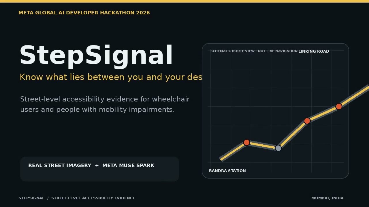
StepSignal: Street-Level Accessibility Intelligence StepSignal is an AI-powered street-level accessibility evidence platform designed to help wheelchair users and people with mobility impairments make more informed decisions about walking routes. Traditional mapping tools can show the shortest route, but they rarely explain whether the pavement is obstructed, whether kerb ramps are visible, or whether a particular stretch may be difficult to navigate. StepSignal breaks a walking route into smaller street-level segments, retrieves available real-world imagery, and uses Meta Muse Spark to analyse visual evidence for potential accessibility barriers. It converts observations into structured, location-linked findings, with confidence levels and clear distinctions between confirmed barriers, possible barriers and insufficient evidence. A central principle of StepSignal is that **not seeing a barrier is not the same as proving that a route is accessible**. The platform preserves uncertainty rather than presenting incomplete visual evidence as a guarantee of accessibility. The prototype brings together Meta Muse Spark, Mapillary imagery, OpenStreetMap, OSRM, FastAPI, Next.js and MapLibre to explore how AI can make everyday mobility information more meaningful, transparent and inclusive. StepSignal aims to move mapping beyond simply showing people where to go, towards helping them understand what they may encounter along the way.