phcodesage
Built at Meta Global AI Developer Hackathon · Oct 26, 2026 · Remote
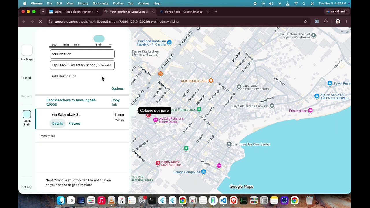
Baha ("flood" in Filipino) answers the question every Filipino commuter asks during typhoon season: "Gaano kalalim?" How deep is the flood? People decide whether to wade, ride or drive from a blurry photo and a guess, and they get stranded, injured or exposed to leptospirosis. Snap or drop one photo of a flooded street. SAM 3.1 finds the water and objects of known height (tires, cars, people, jeepneys). Muse Spark reads where the water meets them and estimates the depth. Baha converts it to the MMDA flood gauge Filipinos already know (gutter → knee → tire → waist), says who can pass (walk, motorcycle, sedan, jeepney, truck), draws it to scale against a person and a tire, and pins the report on a shared live map for the next commuter. It also helps people act: the nearest evacuation sites and hospitals (offline OpenStreetMap data, with directions), an SOS sheet (call 911, share my location, verified Philippine hotlines), and first aid — send a photo of an injury and Muse Spark gives general first-aid steps while you wait for rescue, with offline guides and a go-bag kit checklist. Built to be trustworthy: depth is a range with a confidence level, aerial/drone photos are detected and never turned into a fake street reading, passability is decided in code, first-aid red flags (drowning, electric shock, heavy bleeding) always escalate to "Call 911", people are pixelated in shared photos, and reports are server-signed so they can't be faked. Fully bilingual (English/Filipino), installable as a PWA, works offline where it can. Live demo: https://baha.rechceltoledo.workers.dev (tap a sample photo if there's no flood near you).