GEONOS
Built at Meta Global AI Developer Hackathon · Oct 26, 2026 · Remote
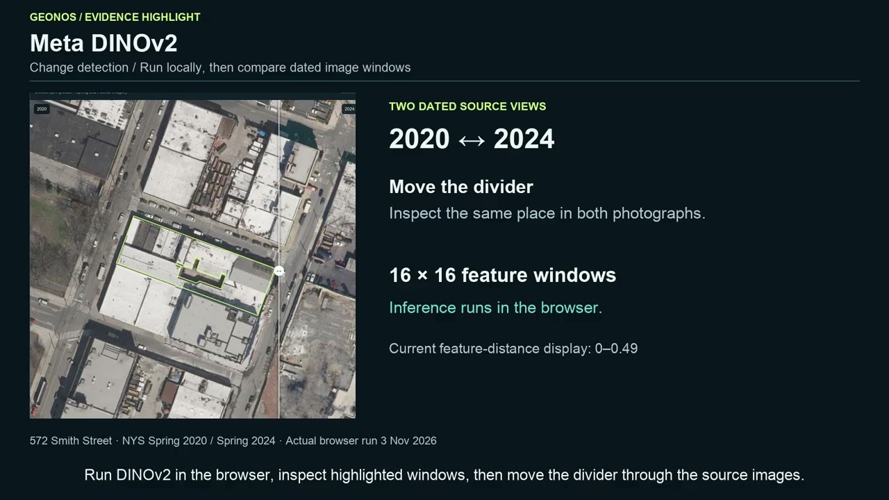
GEONOS is a climate-resilience decision workspace for building owners, investors, and retrofit teams. It helps answer a practical question: Which building fits our requirements, and what should we verify before committing? Building decisions last for decades, while the evidence needed to evaluate heat, heavy rainfall, and changing climate conditions is scattered across public records, climate datasets, energy disclosures, and imagery. GEONOS brings that evidence into one interactive workspace covering more than 1.08 million mapped building footprints across all five boroughs of New York City. Select a building, add a second, and investigate them through a shared map, side-by-side comparison, and conversational assistant. Official building and tax-lot records connect with NOAA weather observations, NPCC climate projections, modeled stormwater layers, energy reports, and dated aerial photographs. Source dates, units, and measurement boundaries remain attached to the evidence. Seven Meta model roles connect the investigation to action. In our cold-storage retrofit example, users compare two Brooklyn buildings, examine roof and tree masks, inspect historical imagery, and introduce a usable-space requirement. The workflow produces concrete next steps: request measured floor plans, inspect entrance and equipment elevations, verify loading access, and identify findings that could change the inspection priority. Users can export the evidence and follow-up checks for an owner meeting or site visit. The intended impact is better-informed investment and retrofit decisions, with a clear path from public information to the next useful action. The application, data-processing workflows, and model integrations were built for this hackathon using attributed public datasets and pretrained models. Live application: https://geonos-nyc.ljh920821.workers.dev/